
 Back to all case studies
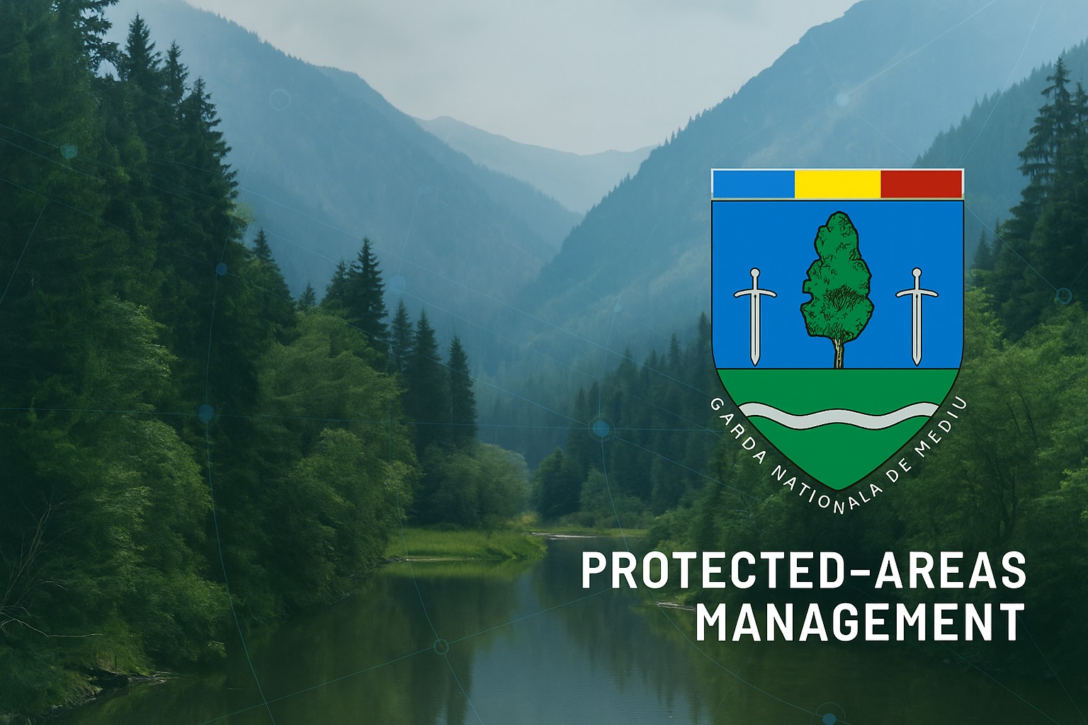
GIS-based wildlife monitoring system
How we built a wildlife monitoring system for Protected Areas Management
Areusdev built a wildlife monitoring system for Protected Areas Management, with a Geographical Information System (GIS) as its core framework. The software streams live video from multiple locations, uses image recognition to track animal presence, and gives forest staff a mobile app to monitor the location, health and behavior of mammals, fish and birds.
The first challenge was selecting the most suitable data model and technology to ensure smooth processing of large volumes of visual data, including live video streams.
Then, it was correlating the data gathered from observations with the activities of forest rangers. Based on the animals’ locations, the system needed to determine whether sufficient food and shelter were available. Finally, the last stage of the project involved developing a mobile app that incorporated all of these functionalities.
What we
delivered:
Developed a mobile app for real-time updates and immediate response by forest staff.
Enables rangers to monitor the location, health, and behavior of mammals, fish, and birds.
Image recognition analyzes footage to track animal presence.
Software streams live video from multiple locations.
A Geographical Information System (GIS) was chosen as the application’s core framework.
Explore more case studies


IKEA

Internal platforms for furniture configuration and 3D simulators, enabling better customer and staff experiences, and streamlining the customization process.
Allianz
We implemented automated testing systems across global insurance platforms, ensuring compliance, improving reliability, and accelerating time-to-market for new features.
Raiffeisen
We introduced automated testing and CI/CD pipelines for banking platforms, reducing release cycles, improving reliability, and enabling faster innovation.

Orange
We managed large-scale data engineering and data migration from legacy systems to Google Cloud Platform, enhancing analytics capabilities.
Dell Financial Services
We provided project support for the DFS FY18 EMEA Irish CCR Integration, consolidating 32 modules into the main financial platform.
Motus
We migrated a legacy mileage-tracking platform to a microservices architecture, improving performance and maintainability.
Quantrio Consulting
We refreshed the Quantrio Consulting website on WordPress, with CRM integration, an email and newsletter system, and ongoing support and maintenance.
NNC Services
We modernized a direct-mailing platform to boost efficiency, scalability, and delivery speed, so marketing teams can run campaigns more effectively.
Enea Services
We rebuilt the Enea corporate website, migrating it from EPiServer to a custom WordPress solution with a unified CMS, content migration and ongoing support.
Armin (Representative highlight)
We partnered on AI-driven automation and robotics engineering projects, developing proof-of-concepts and guiding them from prototypes to production-ready systems.
NerveRepack (Representative highlight)
We built a smart packaging platform combining IoT integration with rapid prototyping, enabling real-world validation and deployment.